
This is part one in a new blog series called “Artifact Spotlight.”
Upon walking into the Museum, one of the first things people see is the Gaillard Map hanging proudly on the wall. This map was donated in 2005 by the late former Charleston Mayor J. Palmer Gaillard, Jr.
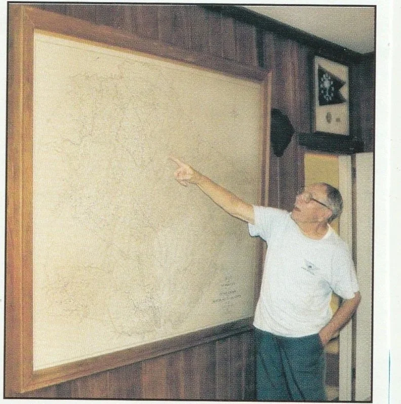
Donor J. Palmer Gaillard Jr. points to Lake Moultrie on the large map. The photo was taken prior to the donation in 2005.
The map was first created in 1926 by Gaillard’s father, the late J. Palmer Gaillard (1874-1962). The senior Gaillard was a civil engineer and land surveyor. He worked for Harza Engineering of Chicago to do extensive surveys of the land that would become part of the Santee Cooper Project. Santee Cooper hired Harza (and Gaillard) in the summer of 1938.
The map was updated over the years, with the final changes coming in 1955. Landmarks such as the Santee Cooper Lakes and the Tailrace Canal were added as they were constructed. Most of the names of people and properties shown on the map date to the 1920s, giving a snapshot into the area before the Lakes.
Stop in soon to see the 6-foot map in all its glory, and see how many names you recognize on it!